Hungary · 47.4979° N · 19.0402° E
Budapest
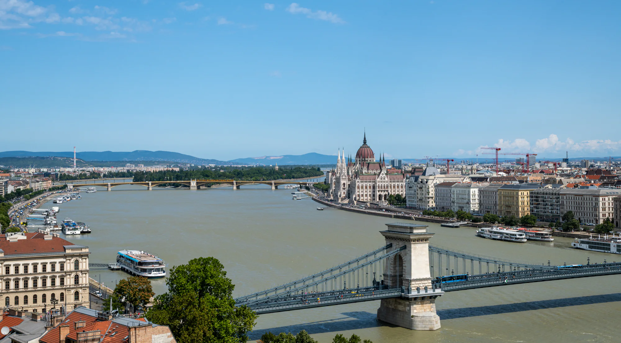
Discover Budapest through nineteen original photographs of bridges, riverfront architecture, Castle Hill viewpoints and quieter works of public art on Gellért Hill.Budapest · Hungary · 01
47.4979° N · 19.0402° E
Budapest in Frame
Discover Budapest through nineteen original photographs of bridges, riverfront architecture, Castle Hill viewpoints and quieter works of public art on Gellért Hill.
Budapest is read here through relationships: Buda and Pest across the Danube, a bridge seen first from a hill and then from its deck, Parliament framed by Castle District stone, and a tram moving beneath green steel. The collection keeps each photograph distinct while connecting it to a landmark guide.
Begin with the wide city panorama, move through the landmark guides or choose a place on the map. Subject locations and viewpoint areas are recorded separately, and an approximate marker is never presented as the exact camera position.
City map
Photographed Budapest
Explore eleven photographed places across Buda and Pest, then open a landmark guide or one of its photographs.

Choose a numbered marker or a place in the directory. Where an exact viewpoint is unavailable, the page identifies the surrounding area.
Landmarks
Széchenyi Chain Bridge
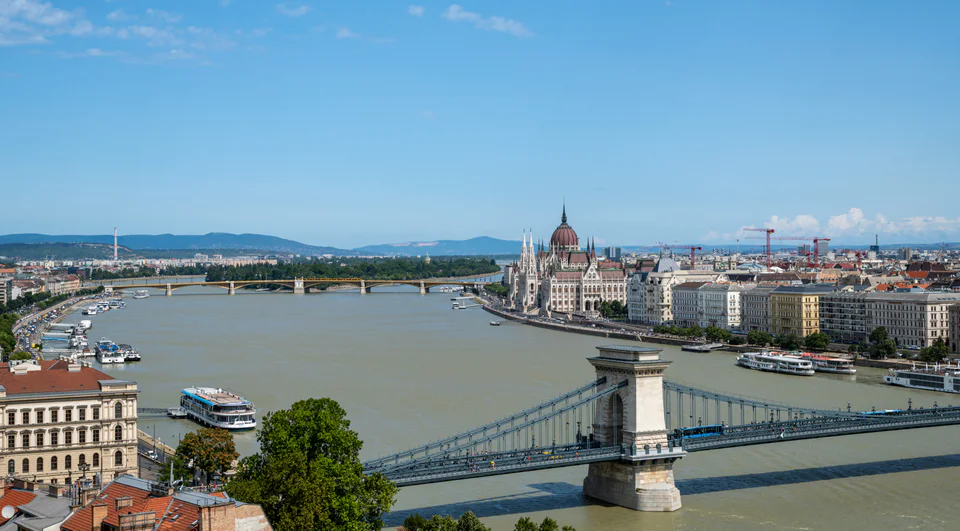
The Széchenyi Chain Bridge gives Budapest one of its clearest visual and physical connections between Buda and Pest. Stone portals, suspended chains and the lions at each end remain recognisable from the river, Castle Hill and the bridge deck itself.
Choose a place to explore its photographs and guide. Markers locate the places; viewpoints may differ.
Landmarks
Photographed places
Start with the bridges, Parliament and Castle District viewpoints, then follow the collection towards Gellért Hill’s sculpture gardens and the Baroque riverfront of Water Town.
Garden of Philosophers
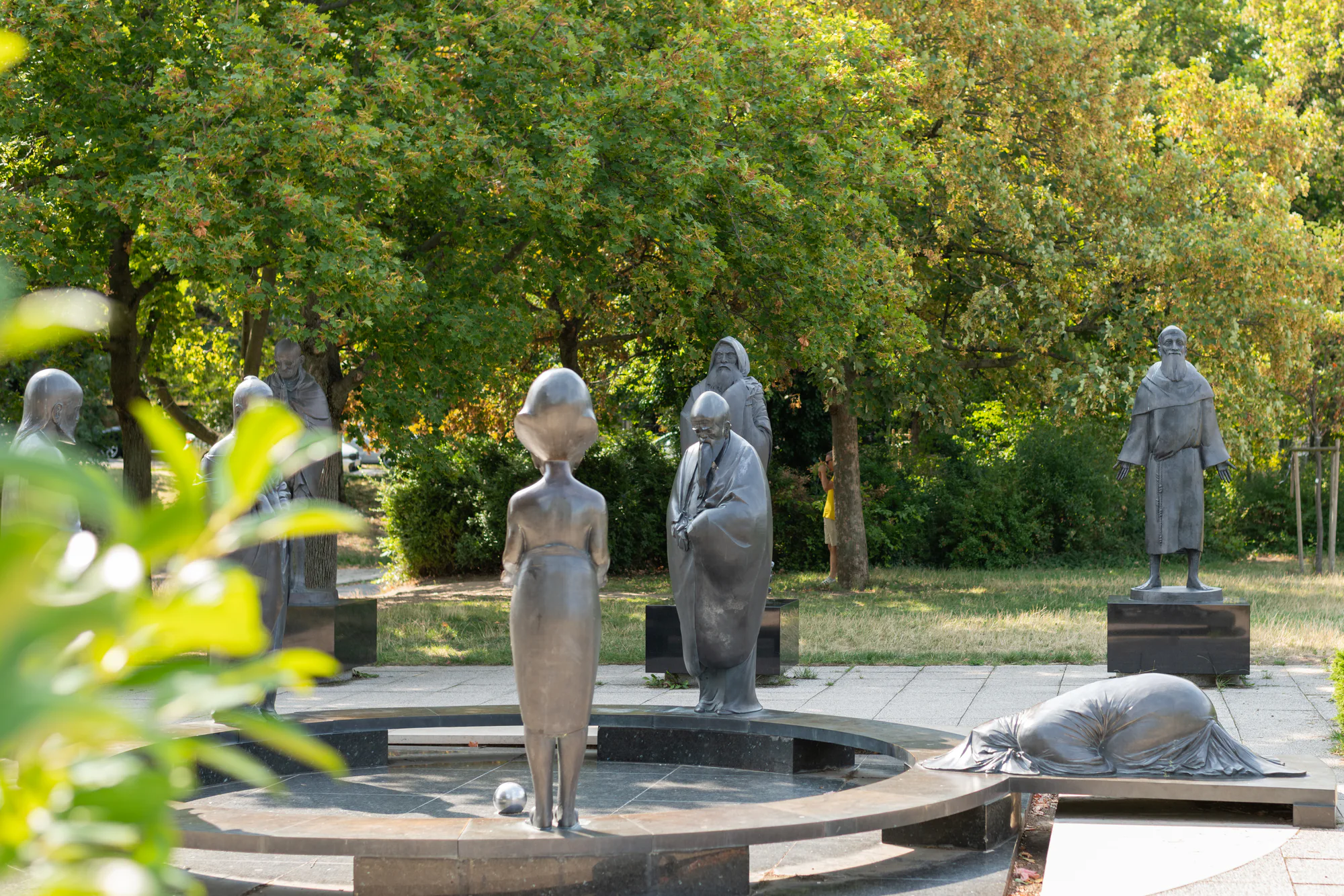
In a shaded clearing on Gellért Hill, the Garden of Philosophers replaces the usual Budapest skyline with a circle of figures. Nándor Wagner’s ensemble offers a quieter subject than the nearby bridges and panoramas, while remaining connected to the city through its hillside setting.
Prince Buda and Princess Pest Lookout Stone
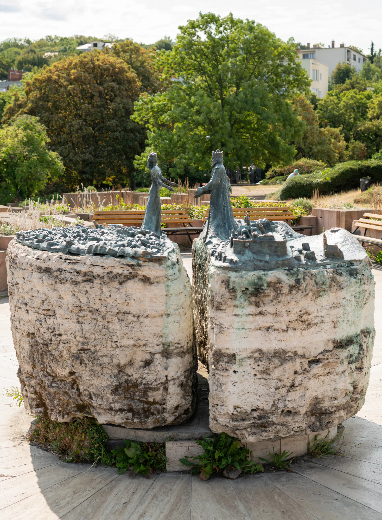
The Lookout Stone turns the geography of Budapest into a small sculptural encounter. Prince Buda and Princess Pest face one another above a split relief, with the Danube represented by the gap between the two halves.
Elisabeth Bridge
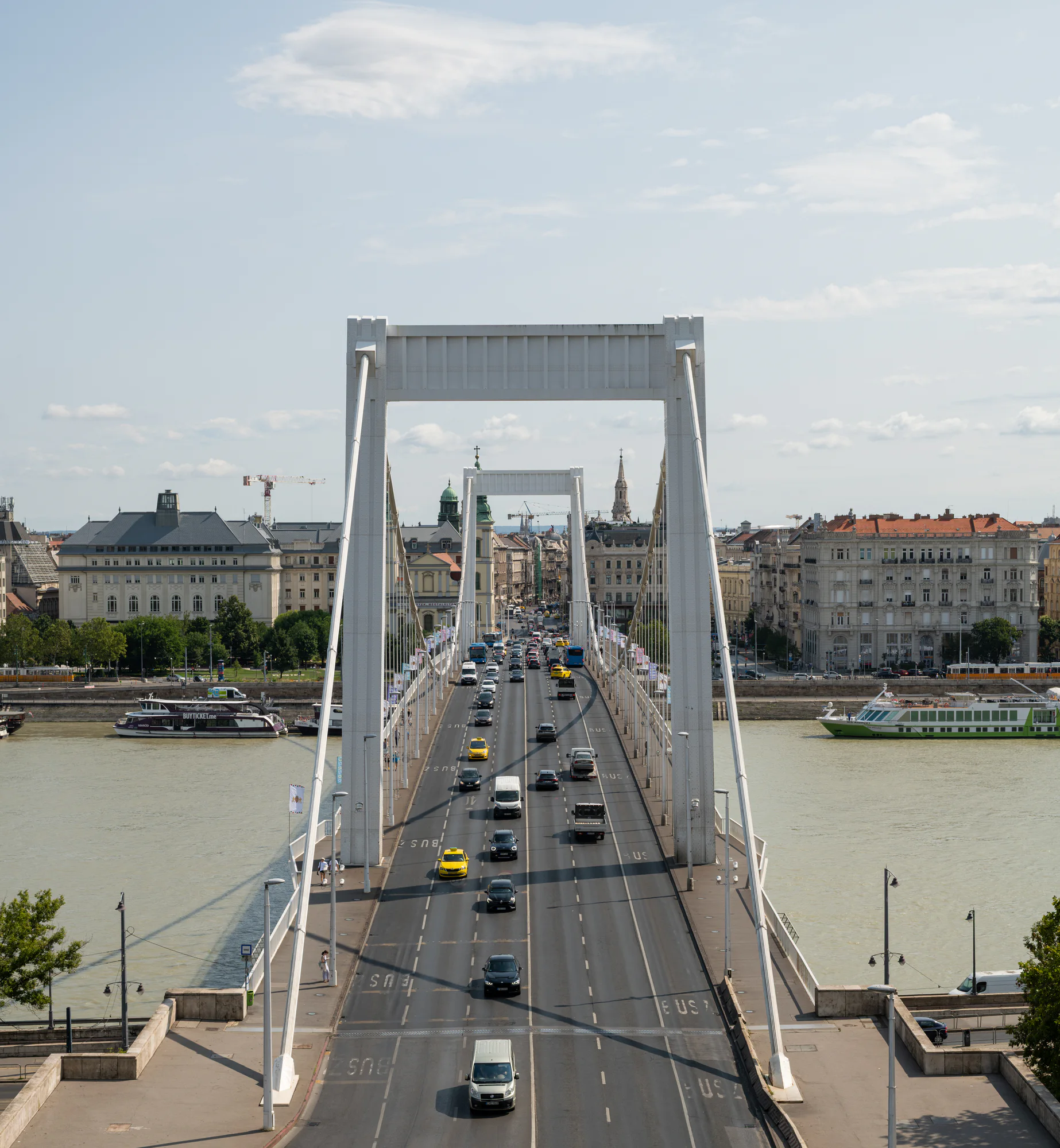
Elisabeth Bridge crosses the Danube in a long, white cable-supported line between central Pest and the northern foot of Gellért Hill. From the Buda hillside, its roadway becomes a direct visual route into the city.
Mace Tower and the Southern Castle Fortifications
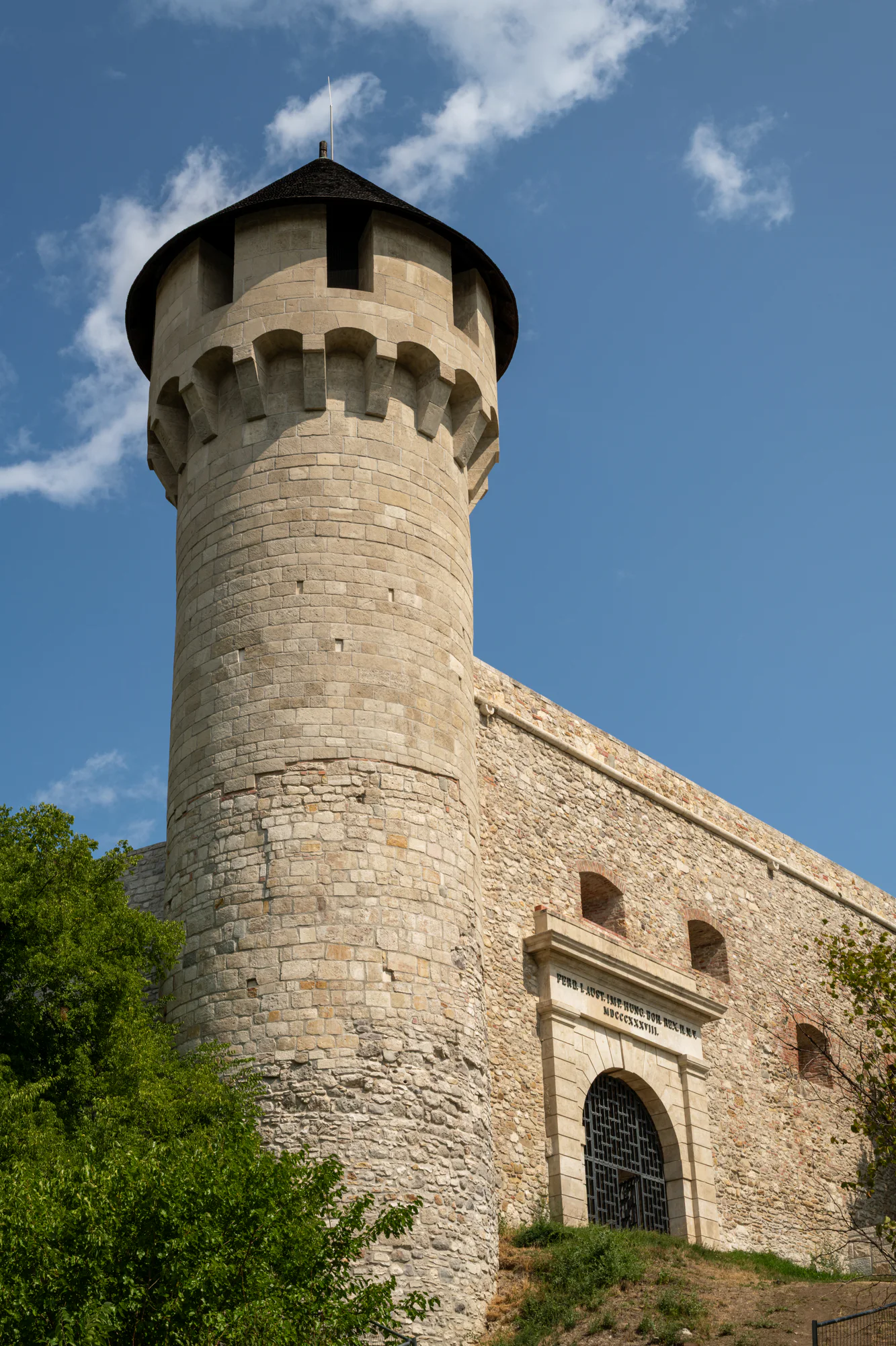
The Mace Tower stands within the layered southern fortifications of Buda Castle, close to the Great Rondella and Ferdinand Gate. Its cylindrical stone body and conical roof offer a compact way to read the castle as a defended site rather than only a palace façade.
Várkert Bazár
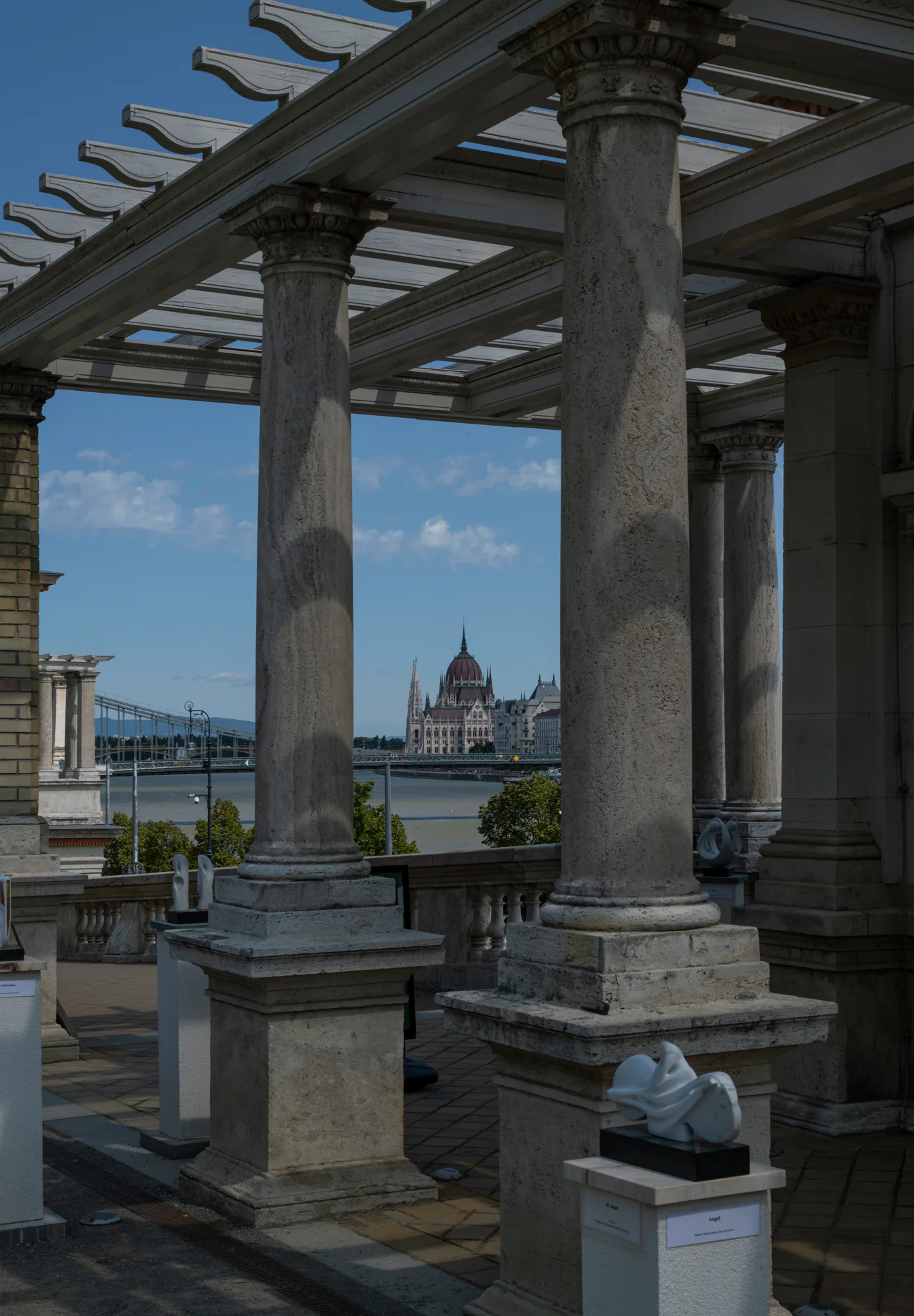
Várkert Bazár occupies the Castle Hill slope above the Buda riverfront. Its restored Neo-Renaissance buildings, terraces and garden pergolas create a sequence of architectural frames for views across the Danube.
Széchenyi Chain Bridge
The Széchenyi Chain Bridge gives Budapest one of its clearest visual and physical connections between Buda and Pest. Stone portals, suspended chains and the lions at each end remain recognisable from the river, Castle Hill and the bridge deck itself.
Fisherman’s Bastion
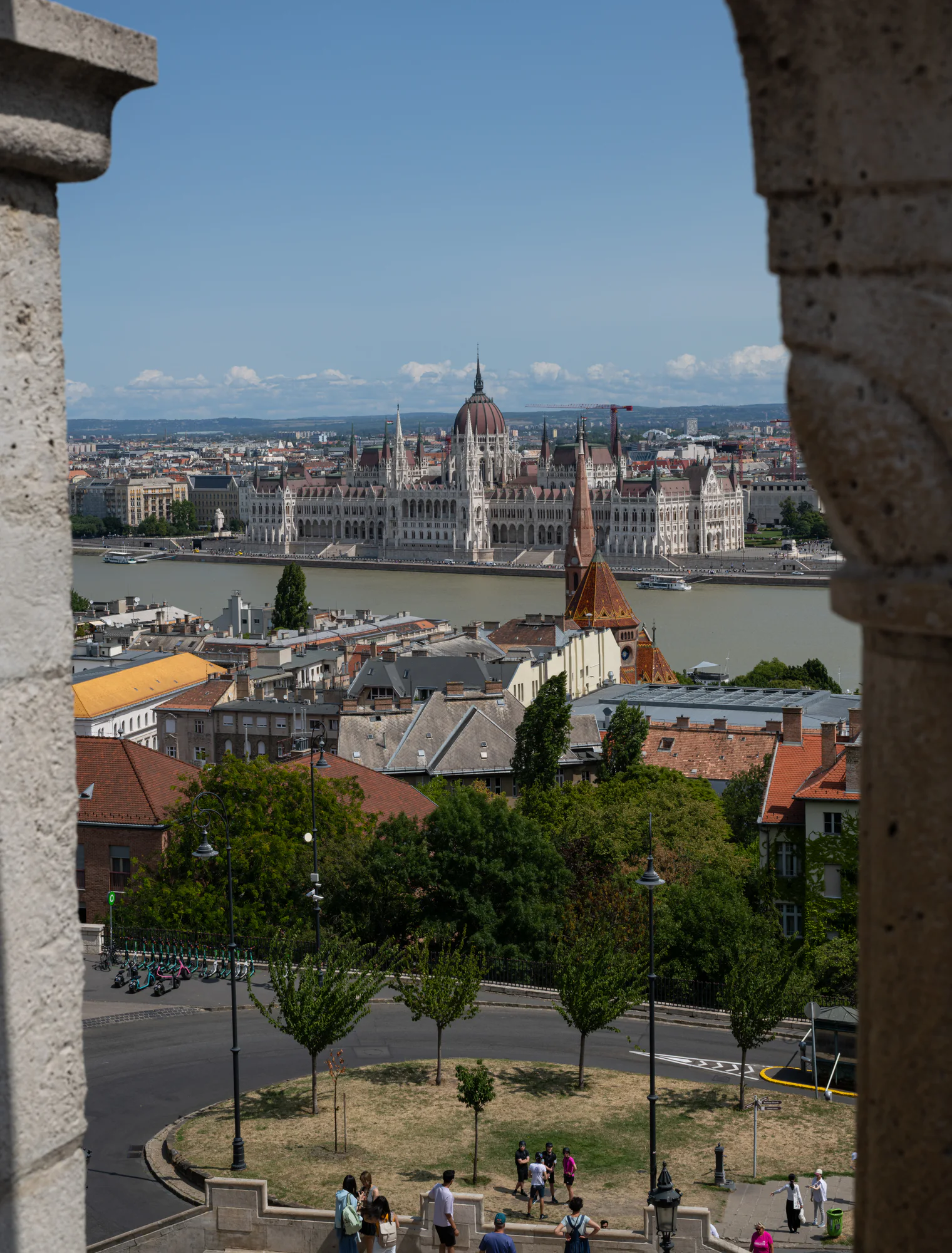
Fisherman’s Bastion combines architecture and viewpoint in a single landmark. Its pale turrets and arcades are subjects in their own right, while openings in the stonework frame Parliament, the Danube and the roofs of Water Town.
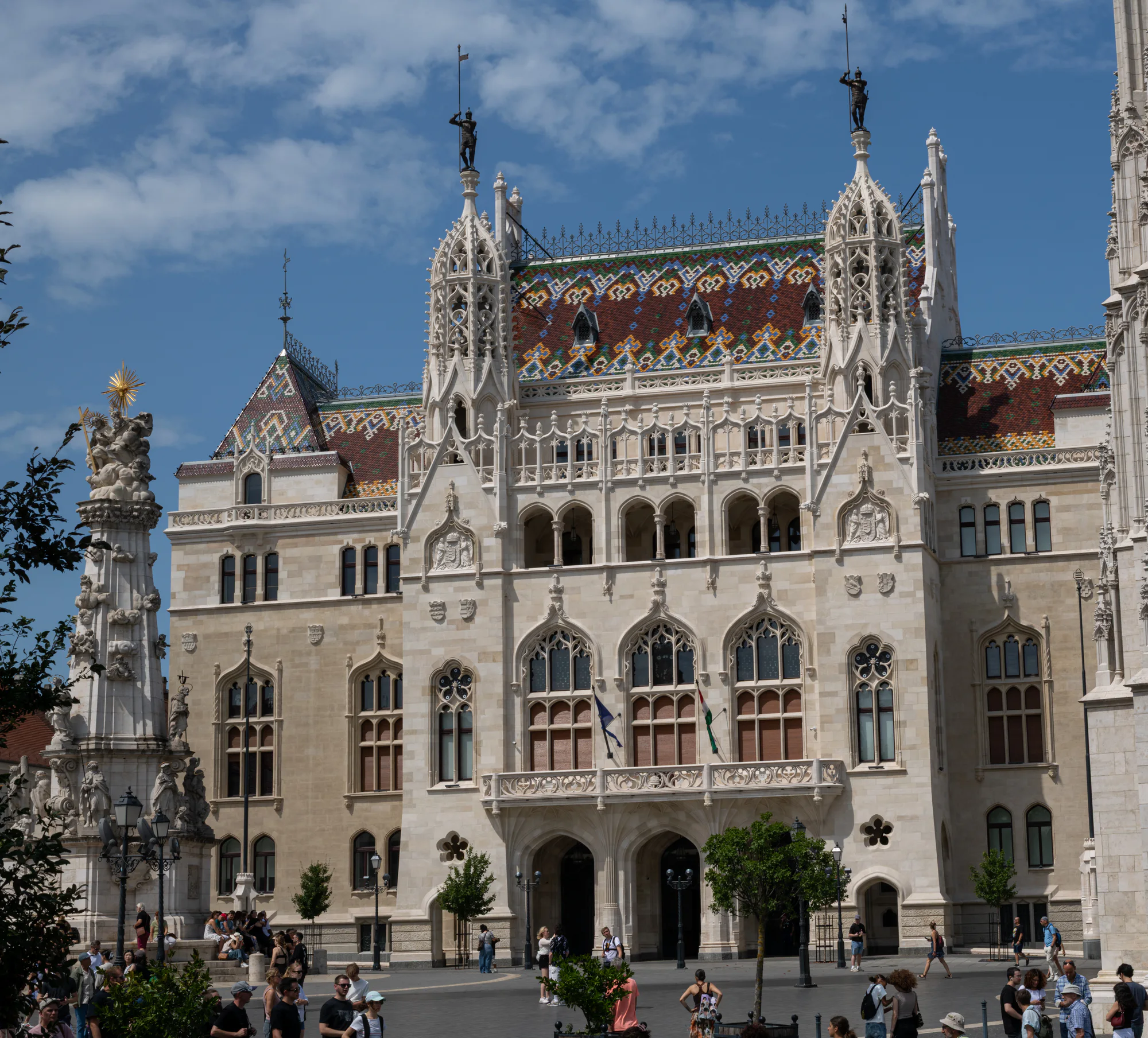
Former Royal Hungarian Ministry of Finance
The former Royal Hungarian Ministry of Finance faces Holy Trinity Square with a dense Gothic Revival façade and patterned roof. Its civic architecture forms a striking counterpoint to nearby Matthias Church and the Holy Trinity Column.
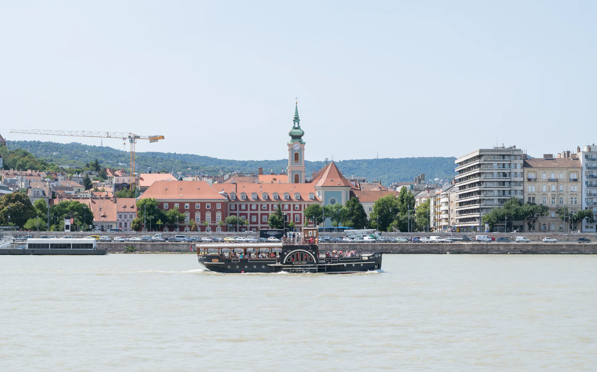
Church of the Stigmata of Saint Francis
A single green onion dome and clock tower identify the Church of the Stigmata of Saint Francis on the Buda riverfront. Seen across the Danube, the church and former convent form a long Baroque ensemble behind moving boats and embankment traffic.
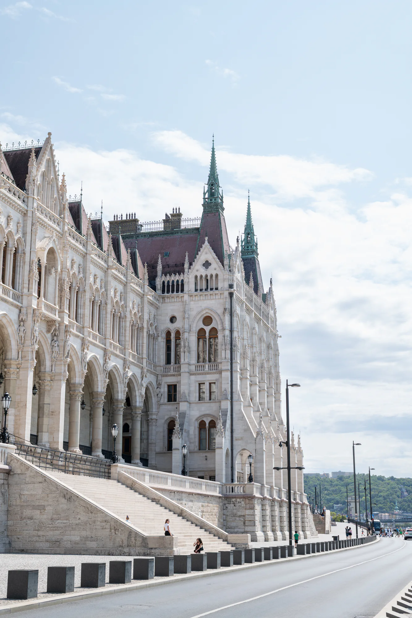
Hungarian Parliament Building
The Hungarian Parliament Building anchors the Pest bank with a long Neo-Gothic river façade and central dome. In this collection it appears close from the embankment, across Kossuth Square and repeatedly as the distant subject of Buda viewpoints.
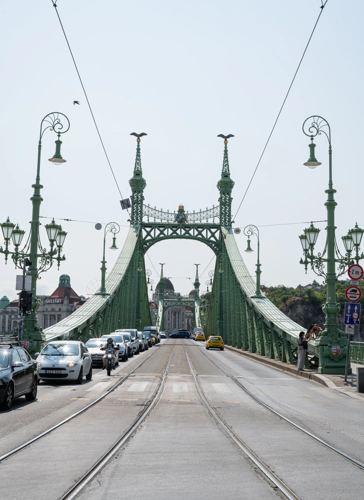
Liberty Bridge
Liberty Bridge combines green riveted steel, ornate portals and tram infrastructure in one compact Danube crossing. Its structure rewards both a centred view along the tracks and close attention to plates, latticework and lamps.
Plan your view
Explore Budapest through photographs
Read Budapest as a sequence of views between Buda and Pest, moving from Castle Hill architecture to the Chain Bridge and the civic riverfront beyond.
Open place guide ↗02 · Photographic sequencePhotographing Budapest along the DanubeThe Danube is the organising line for a daylight photography area of bridges, riverfront architecture, moving boats and high views from Buda.
Open place guide ↗Original photographs
Budapest photograph archive
Budapest photograph archiveBrowse nineteen original Budapest photographs by subject and viewpoint. Open a frame for its story, place context, capture details and print or licensing information.Browse all photographs ↗Before you visit
Fisherman’s Bastion
Check the current Budavár municipal notice for upper-terrace hours and admission before visiting. Crowds, events, maintenance and worship at nearby Matthias Church can affect how the square works. Leave passages and stairs clear when photographing.
Open place guideHungarian Parliament Building
Use only the official Parliament visitor site for current tickets, tour languages, security instructions, accessibility and photography rules. Exterior public-space access does not guarantee an interior ticket, and state or parliamentary events can change arrangements.
Open place guideVárkert Bazár
Check the official Várkert Bazár site for current garden hours, exhibitions, events, lifts and any temporary closures. Access to open terraces does not establish access to every interior venue, and event arrangements can change circulation through the complex.
Open place guideSzéchenyi Chain Bridge
Check current traffic and pedestrian rules before visiting. Stay within marked public areas and do not step into restricted lanes to reproduce a centred photograph. The bridge remains working infrastructure even when it appears quiet.
Open place guidePhoto story
Stories
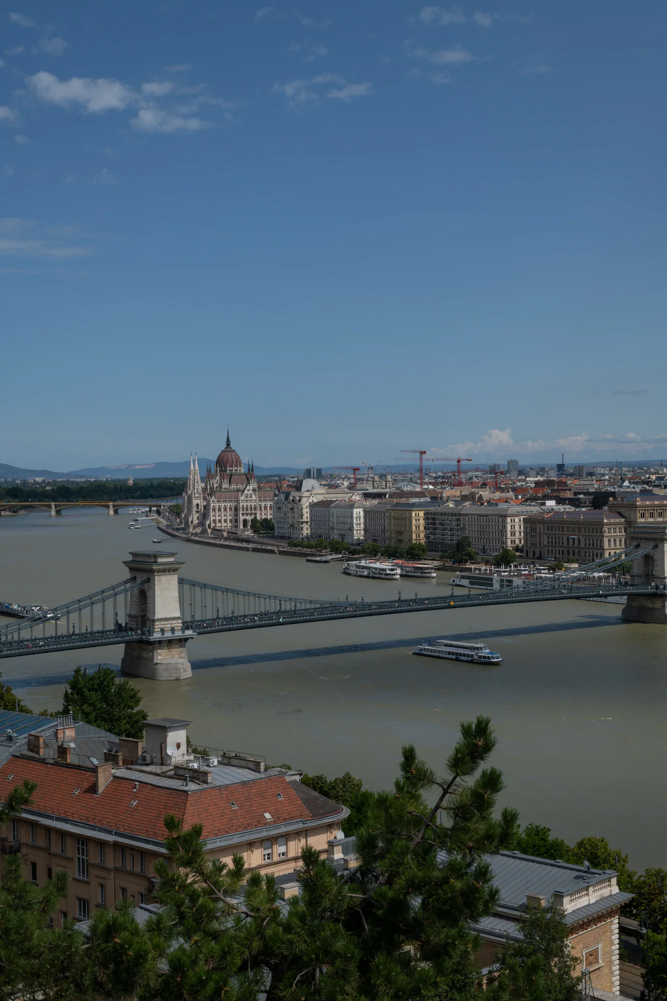
Along the Danube
A photographic journey from Vienna to Bratislava and Budapest, following the river as architecture, weather and memory change around it.
Continue readingRoutes Edition
Routes
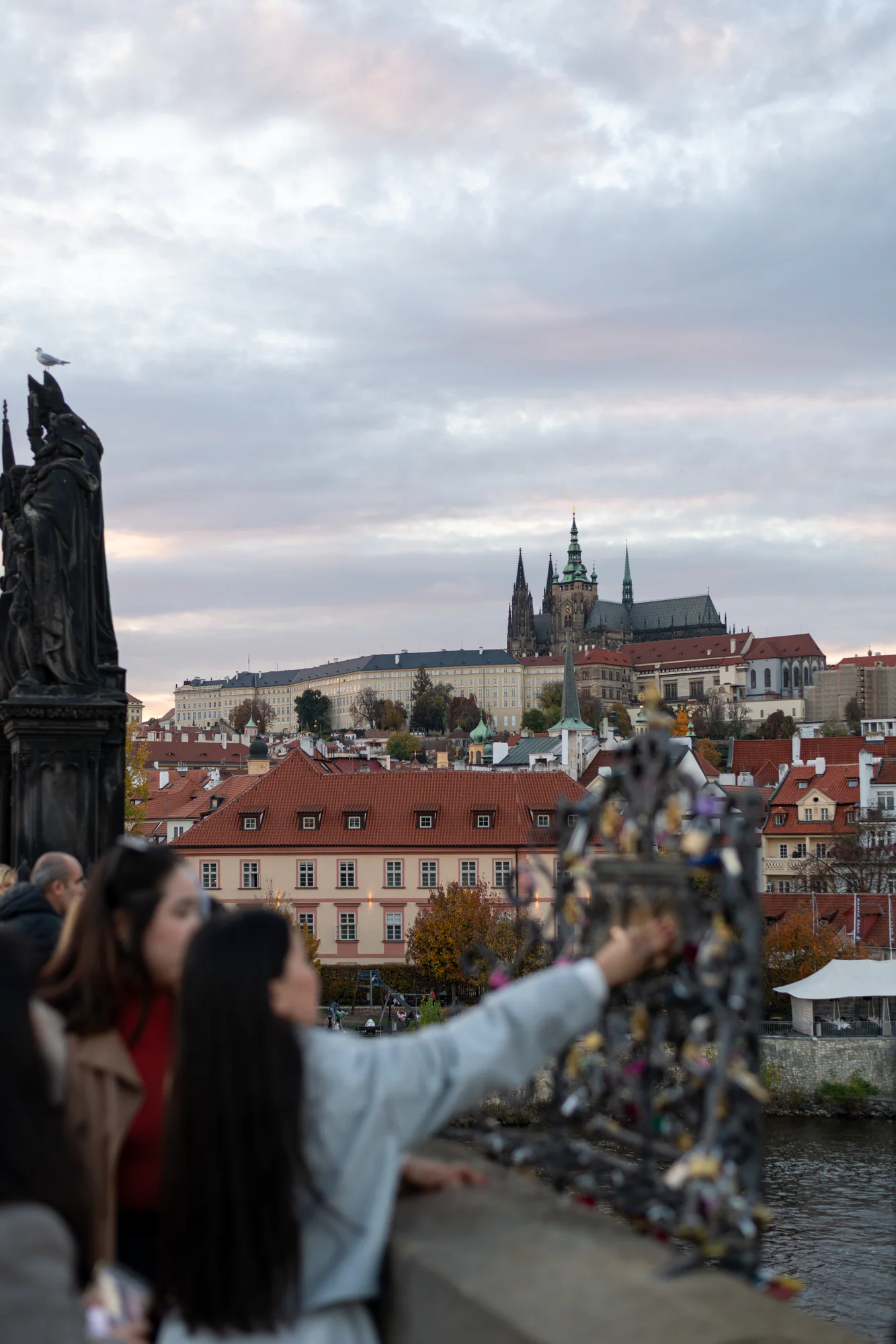
Central Europe by Rail
A slow rail route from Prague through Vienna to Budapest, balancing monumental architecture with river light and unhurried street time.
ExploreBudapest
- Location
- Budapest, Hungary
- Coordinates
- 47.4979° N · 19.0402° E
- Series
- Europe In Frame