Budapest · Hungary
Elisabeth Bridge
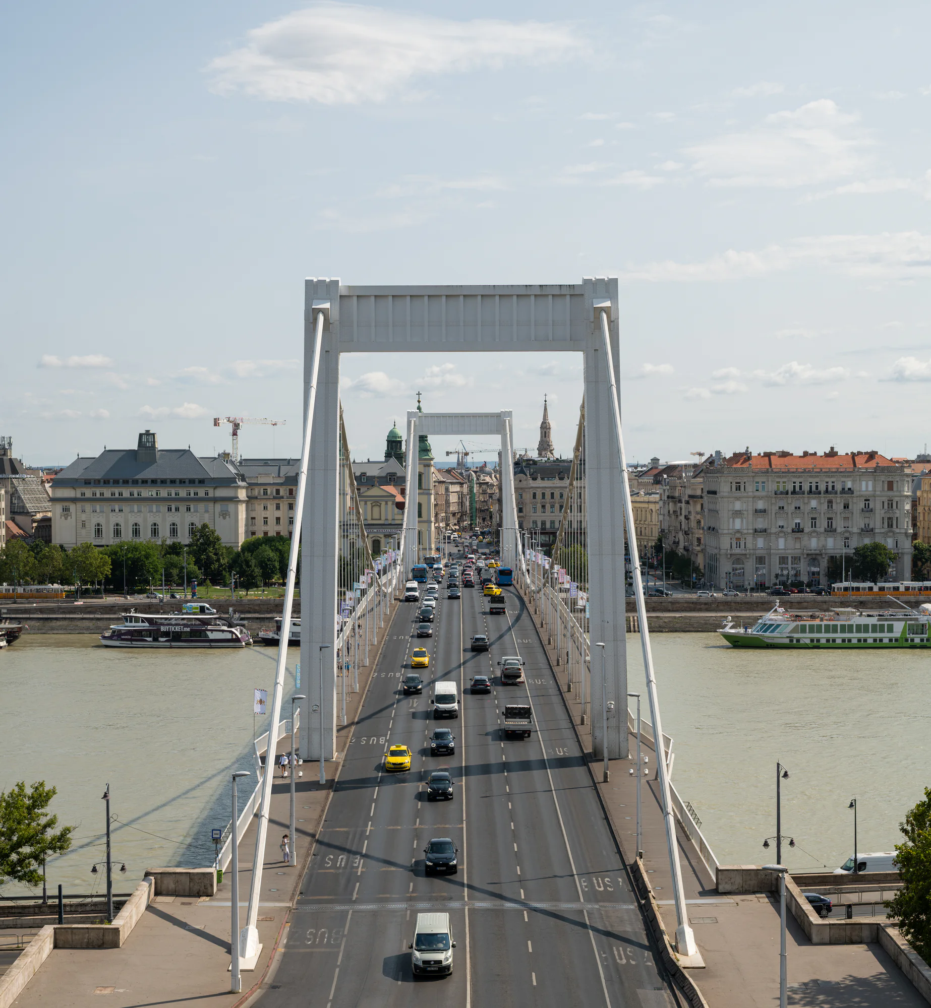
Elisabeth Bridge crosses the Danube in a long, white cable-supported line between central Pest and the northern foot of Gellért Hill. From the Buda hillside, its roadway becomes a direct visual route into the city.
© Serhii Danyliuk / Europe In Frame ·Open photograph ↗
Elisabeth Bridge
About this place
19.0499° E
The bridge seen today is a modern replacement for the historic crossing destroyed during the Second World War. Budapest’s official tourism site describes the present structure as a product of the 1960s, recognisable for its white steel cable system and clean profile.
The photograph uses the elevated Buda viewpoint to align the two towers and the traffic between them. That geometry distinguishes the view from a riverbank elevation: the road becomes a central axis, while boats and waterfront buildings show how the crossing meets the rest of Budapest.
Budapest Közút manages the bridge as working transport infrastructure and occasionally announces technical visits requiring separate registration. For an ordinary visit, use the public pedestrian crossing; restricted structural areas are subject to the operator’s separate access arrangements.
Budapest
Location
Between Március 15 Square and Döbrentei Square, Budapest
Open the city map ↗City map
Photographed Budapest
Explore eleven photographed places across Buda and Pest, then open a landmark guide or one of its photographs.

Choose a numbered marker or a place in the directory. Where an exact viewpoint is unavailable, the page identifies the surrounding area.
Landmarks
Elisabeth Bridge
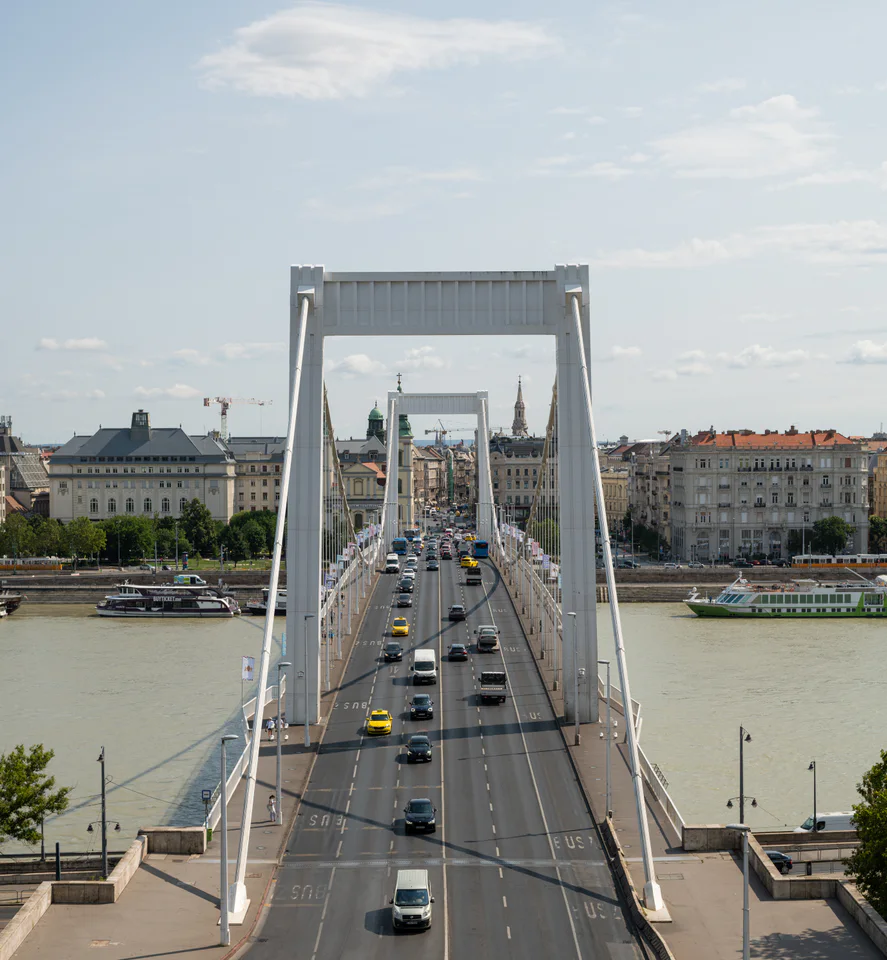
Elisabeth Bridge crosses the Danube in a long, white cable-supported line between central Pest and the northern foot of Gellért Hill. From the Buda hillside, its roadway becomes a direct visual route into the city.
Choose a place to explore its photographs and guide. Markers locate the places; viewpoints may differ.
Photograph from Budapest
Elisabeth Bridge from Gellért Hill
Budapest
Before you visit
Check current transport and maintenance notices before travelling. Use marked pedestrian areas and never step into traffic for a centred composition. Any technical tour requires the operator’s current registration and safety instructions.
The photograph’s viewpoint is recorded only as the northern Gellért Hill area. Use the map marker to understand the bridge’s location; do not follow it as an exact camera coordinate or an accessibility-reviewed route.
- budapestkozut.hu
Elisabeth Bridge ↗
Landmarks